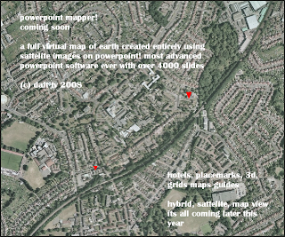
POWERPOINT MAPPER
 click for larger image
comments are back but this system is not to be abused
first there was keyhole. Then there was google earth and microsoft virtual earth
and now
POWERPOINT MAPPER!
we will have many new features this is the first ever earth simulator made on powerpoint, it will have some limits but will be made as user-freindly as possible
and will be the biggest powerpoint ever with over 4000 slides
here is a glimpse
